The Beginning
This adventure came about from dreams of exploring a wild fiordland coast line, several newly acquired packrafts and an amazing looking place called the ‘Red Mountain’. All of these places seemed like most excellent places to visit and so after a bit of Internet research about people’s previous experiences and much google earth and topo-map studying we had a plan sketched out that we came to term “The Infinity Loop” based on it’s shape.

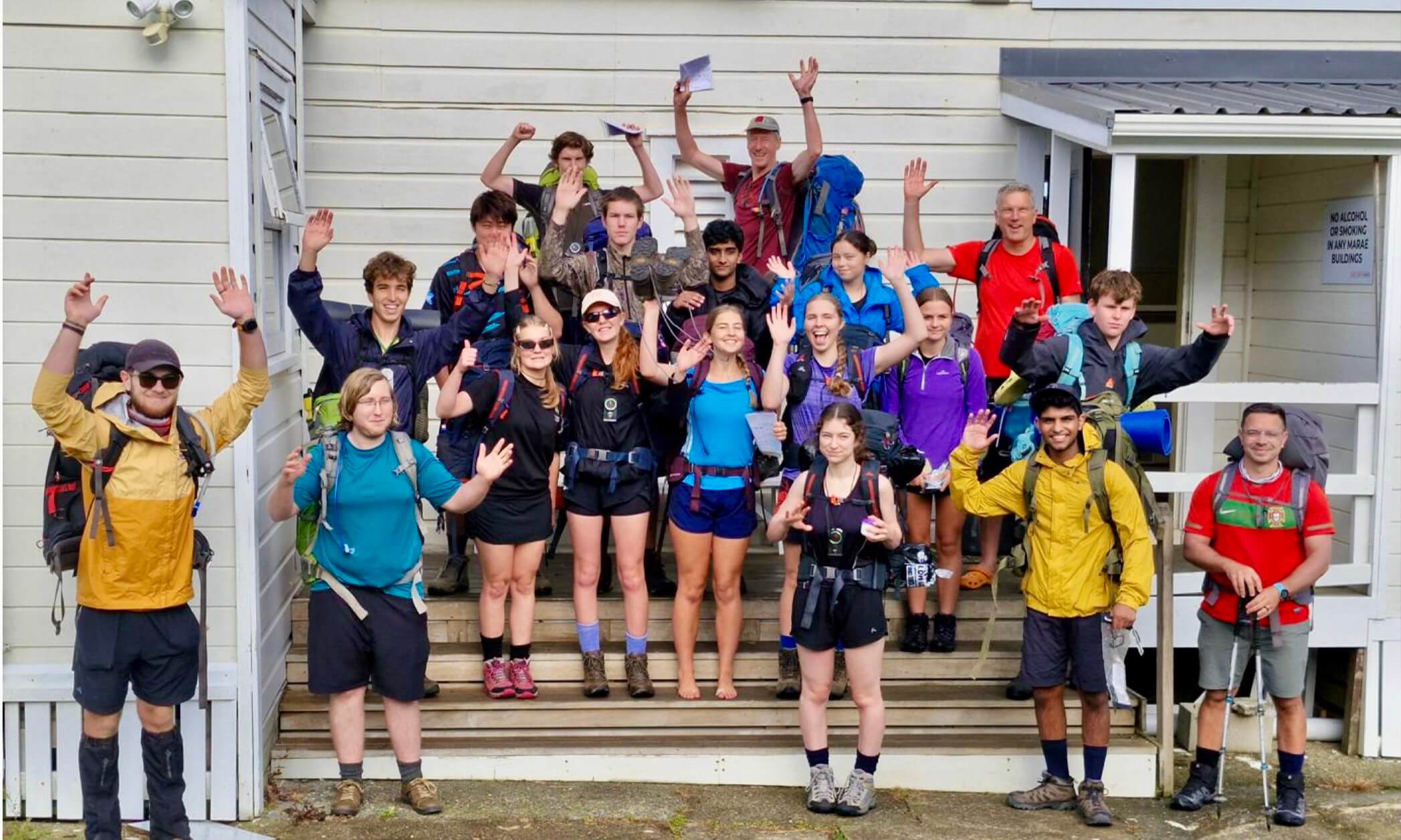
So we had a trip and a group of keen individuals – Matt and La, Georgia, Chris and myself and Tim and Steph who would start with us then cut off a few days early.
Post Christmas a weather window opened that was okay, not brilliant, but good enough for us. A solid day of organising and equipment chaos then took place as we tried to whittle our gear down enough to have 8 – 9 days of food, room for packrafts, life jackets, paddles, tents, cookers and so on. Finally we decided we were ready as our packs were full to the brim and couldn’t fit any more stuff, so we headed off for Te Anau.
Over dinner in Te Anau we savoured our last fresh food in a while and then drove on down the Eglington Valley . A glimpse of Mt Tutoko just before we dropped down into Gunns camp filled me with excitement about the adventure to come. We camped near the road end to the thunderous roar of the Moraine Creek rapids, and a peek at the rapids in the darkness made us all wonder about what the lower Hollyford might be like!
Down the Hollyford
The morning was a pearly fine and it was very cool to finally be on the river with all our gear safely stowed inside. The Hollyford was a beautiful green blue, with beach forest thick on each side. Up above soared Mount Madeleine, and I could see the toe of a glacier in one of the valleys just above us. There was a fun little series of wave trains and then we spotted the take out for the Little Homer Rapid just past Hidden Falls Hut.

Trying to fit 8 days gear into packrafts at the Hollyford road end

Heading down the Hollyford in our convoy of packrafts
We pulled the boats out of the water and up the muddy bank. We found a still channel of water to float down and then a cleared track which apparently is used to winch up jet boats. Before long we were back down at the river. Georgia and I did a swap at that point so I could have a go in her single. It was great fun to be in the very manoeuvrable one man boat and I enjoyed the little wave trains that followed.
Towards the end of the river there were a couple of slightly bigger rapids and as I was following Chris and Georgia down their boat suddenly disappeared into a large wave/hole and flipped! I quickly paddled to the side and saw that they were both okay and had made it to shore with all gear and boat. Not wanting to do the same the rest of us took a line that avoided the biggest wave and there were no more spills. Georgia was not particularly impressed with Chris steering her into the biggest hole on the rapid, but he claimed fault in the lack of spray deck on the boat. She was a bit chilled, but seemed to warm up pretty quick. I decided I got lucky being able to pick my own line in the single!
Even though it was a clear sunny day the river is often in shade and the water temperature is very low, so by the time we reached windy Lake Mckerrow Island Hut we were all a bit frozen. Fortunately the hut was in a warm sunny clearing and a good lunch helped. From Mckerrow Island Hut came a big paddle across Lake Mckerrow, into what was now a strong face wind. It was going to be a long day.

Sunny lunch at McKerrow Island Hut
After a couple of hours paddling huddled in against the shore trying to avoid gusts the wind dropped and our progress increased somewhat, although it is never going to be rapid in a pack raft on still water. By the time we reached the part of the lake where it begins to narrow we were all feeling pretty tired. Tim and Steph decided to pull out and visit Jamestown, then walk the last stretch to the hut.
We put Georgia on a tow line (our double raft with Chris motor was a bit speedier) and set off down the final part of the river to the coast. We put our heads down and paddled and soon we rounded a corner and could spot the tin roof of Martin’s Bay hut. After a solid 12 hours paddling we happily pulled the boats up onto the beach and headed inside away from the sandflies for a great dinner cook up and bed.

Sunset at Martin’s Bay
Walk to Big Bay
The next day the plan was to walk around the coast to Big Bay Hut and then on up to the head of the Pyke River up into the Red Hills. We started off round Long Reef point on a good track, then reached an intersection and decided to head on the beach track as the bush one looked very overgrown. Chris was out in front and as he dropped onto the beach we suddenly heard a loud barking sound and an angry seal lunged towards him. Chris roared back and the seal backed off, but as we tiptoed after him onto the beach we realised there were seals everywhere and we would have to weave amongst angry seals for miles to get along the shore! Suddenly the overgrown track above us didn’t seem so overgrown.

Heading around Long Reef Point

Out on the rocky coast, faster than the bush
Back up we traipsed and spent the next hour smashing along a very muddy, flax covered trail which we lost several times. After an hour we neared the beach again and decided to brave the seals. Fortunately by now we were obviously past the colony and so we could now make better progress along the rocky shore. As we rounded the curve of Big Bay we caught a glimpse of Red Mountain in the hazy distance inland. Given we were planning on getting there today it looked very far away!

Boulders on the coast. Red Mountain in the distance.
We ate a late lunch at Big Bay Hut and then gladly deposited a bag of food supplies which we would collect on our way back from our first loop. Most of this came from my pack so I was pretty glad to be losing some of my weight! We were all feeling a bit tired from heavy packs, and the four hours to Pyke River seemed pretty long. Fortunately we entertained ourselves coming up with riddles about native birds. A few of the goodies being: “2 cars” (kaka), “omniscient and clever” (godwit), “cutlery invoice” (spoonbill) and “internal theft” (robin).
When we finally reached the Pyke the sun was setting and we were all feeling quite tired. After a brief consultation with the maps we decided to head a further 45 minutes upstream and then pitch camp. The Red Hills would have to wait until tomorrow. We followed deer trails up river and then found a grassy clearing where we set up our tents and went for a quick and freezing dip in the river.

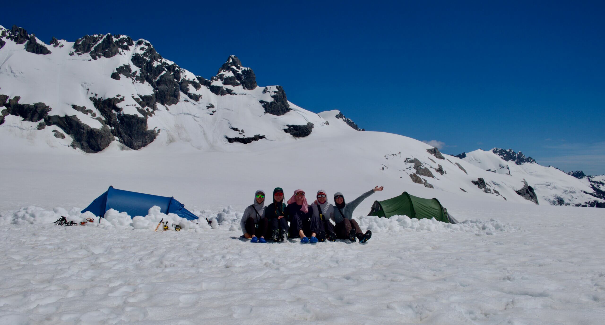
Camp at the Pyke
The view up to Red Mountain was stunning in the setting sun and now it did look a lot closer. Tomorrow Tim and Steph would part ways with us, heading up towards the Red Mountain, then on down the Pyke. We would continue along the Red Hills and hoped we could make it down to the Cascade River by the following night.
Traverse of the Red Hills
The bush bash up from the Pyke to point 1166m was slow going, especially with our big packs. Chris’s optimistic 2.5 hours soon stretched out to 4 hours, but eventually we emerged from the bush to a great view of Red Mountain and the sharp South-West Ridge of Aspiring looking like the Matterhorn in the far distance.

We had to reenter the bush along the spur for a bit and as we emerged back onto the Red Hills proper clouds rolled in that sadly would stay firmly in place for the rest of our time on the tops. Chris was out in front enjoying the navigation in the low visibility, and Georgia and I noted that the last ‘Red Hills’ we had been in during Godzone 2016 in Nelson had also looked like this – completely foggy!

Paddling on the Red Hills
We ate lunch on the spur and wondered what had become of Tim and Steph as we hadn’t seen any sign of them since we started climbing. We traversed the tops for the rest of the afternoon, then dropped down to some tarns on the far side of the Red Hills. The terrain was beautiful, with soft mossy clearings, hundreds of clear tarns and clean beech forest groves. We all ‘oohed and ahhed’ about the idea of orienteering up there.

Tarn on the Cascade end of the Red Hills
In the late evening we dropped down into the forest and down a remarkably clear spur into the Cascade River, right at the bottom of the top gorge. It was late and we were all feeling pretty tired after yet another big day, but so far we were managing to keep up with Chris and Georgia’s general ambitious schedule.
The most unknown part of our trip now lay ahead. We didn’t know too much about the Cascade River other than what we had found from looking at Google imagery and topo. The ‘travel-ability’ of the coast line from Barn Bay was also a bit unknown. The daylight brought light rain and the weather from here was meant to deteriorate so we were keen to get down the Cascade sooner rather than later.

Nearly down in the Cascade, just before it got dark
We found a nice grassy spot to set up camp on the Cascade River Flats. Sometime in the middle of the night we heard the pitter of rain starting to fall on the tent. The weather change we had been expecting was on its way.
(Watch for Part 2 of the Infinity Packrafting Loop where the team descend the lower Cascade River to the Mighty Tasman Sea).