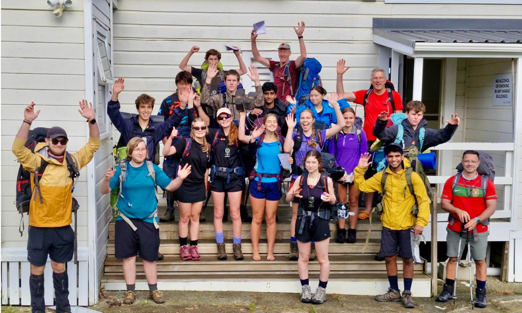
By Ruari Macfarlane
Lyvia River – Matterhorn Mountains, March 2020
The ferry churned across the leaden lake, Southerly chop transformed to flung spray. Somber wet granite materialized from low clouds, waterfalls and verdant greenery struggling to counter the grim, dark ceiling. I flicked tersely across the map on my phone one last time, noting for the first time just how steeply the contours crunched above Wilmott Saddle. We were both a little nervous, Mum and I, but spirits were high. A last-minute plan, thrown together the previous evening, was in motion; not that minimal planning seemed to matter, as there was little beta available. After half a lifetimes absence, I was finally travelling towards a realm I’d only peered across at since – the West Arm of Lake Manapouri and beyond, the fringe of deepest Fiordland.
In 2013, this trip had flitted across our attention, a horseshoe leaping out of the map, near the road but off the beaten path. Mum and I were both moving overseas soon, but separately, and keen to get out one last time before we both flew NZ. Mum had a written list of ideas; the Matterhorn Mountains were jotted low on the long list of suggestions, originally suggested by Stan Mulvany. Glancing across the map, the horseshoe leapt back into memory: Mt Wilmot to Black Giants; this was our chance! Starting…tomorrow.

Waiting for the Deep Cove bus, we decided to reverse our loop and go anti-gravity, largely for return logistics – we wanted to be home by the eve of day three; getting to West Arm is quicker (or cheaper) from Wilmot Pass, than if we popped out at Deep Cove. It had the advantage of eliminating two big unknowns early – the Lyvia gorge, and the ascent to the Black Giants. To our surprise, Moirs mentioned travel up the Lyvia; an old track, no less. Expecting to (not) find it completely overgrown, but guessing it’d entered the bush at a hairpin directly uphill of the Lyvia bridge, we piled out of the bus (whose RJ staff were a little surprised at the whole thing – suggested we email in advance next time, especially to guarantee a ferry berth – they are frustratingly tricky to get hold of by phone in Manapouri). And there it was; freshly cut and marked! We inhaled the rich, moist air West Coast air, grinned gratefully at emerging peeks of blue beyond the towering green walls, then got into it. The track took us past the gorge beautifully, in only 1hr 15min. From here on deer trails wound up the TR of the Lyvia, followed by the Southern tributary from Lake Colwell (Lyvia South branch, for arguments sake). The bush, while not fast was surprisingly reasonable, bar a few mossy boulder sections.


We were to start via a climb of the Black Giants, taking a prominent ridge to and over Pt 1538. Accordingly, we splashed up the last TL creek before Lk Colwell, and steeply up to the saddle SW of Pt 558. However, glimpses of the rather pointy Pt, and growing doubts with closer scrutiny of the map, paused us. It looked like the rope would be very handy; the rope we didn’t bring. We’d each erred toward no rope the previous night (possibly biased by the lack of any trustworthy rope under 50m), and now would have to live with it; a tradeoff for light 45L packs. We altered plans conservatively and angled down to Lake Colwell with difficulty (reaching it around 7 hours from the road), and around it with even more. We would make for Lake Louise tonight, hoping to take a gut to col 1228 tomorrow. The head of the dark lake was reached with thankfulness, but the bush beyond was no better. Tiring, getting nowhere fast, our appetite to escape to the tops was increasing, as was our appreciation that a three day trip was pretty ambitious; valley bottoms are not the place to cover kilometers in Fiordland! A further conservative call saw us veer up the South branch in a beeline for the tops; we could look forward to travel improving with height, intimated Moirs. Nothing of the sort happened, but the campsite mentioned in a stand of beech around bushline worked. This was very welcome as unexpected cloud began plunging at gale force over the divide from the East, drizzle thickening. As light seeped out of the dripping forest, we chuckled over our fortune in starting low – conditions on the tops looked desperate!

Wan morning light revealed a thick plume of cloud arcing over the ridge. A lake of cold interior air filling the Manapouri basin was overflowing the divide, liquid cloud pouring through the passes to accelerate down the Lyvia’s walls. It was breathtaking and ominous, but blue skies beyond, rising pressure, and Mum’s experience indicated it wouldn’t last. We took off up the creekbed, happy to avoid the scrub on either side. A short jog around the TR of a waterfall, and we emerged into a charmed hanging valley. A pair of parries honked from crystalline ponds where the creek broadened; sprinkled boulders draped in magnificent subalpine flora vied with the sheer valley walls for attention. Fragrant Toatoa, Dracophyllum and Hebe clumps were laced with tussock corridors, bringing us to a view of the guidebook’s crux, a steep waterfall route to a tarn-filled basin. Doubling back, we zipped up an obviously easier tussock rib 350m earlier, gaining the same basin. Breathtaking! Tarns lay as calm jewels studding a crown of tortured granite, islands gleaming silver matching the scattered cliffs beyond. The tussock ramp from the South-Western tarn proved easy, and as the day cleared to a cracker, we emerged to crystal clear views on the ridge of the Matterhorn Mountains.

Along the incomparable Fiordland tops we soared, Mt Gladstone, Matterhorn, and Koinga Peak flowing beneath our boots. Innumerable brown tarns; lakes black and glistening in the deeps below; the great bodies of water lying blue beyond, fresh and salt. Innumerable serried ridges marched off towards the Tasman, the brooding presence of the Black Giants anchoring them to terra firma. Chamois whistled, keas whirred, and wekas darted. We were interested to see a sleek, black feathered example, which I chased after for a photo. Now and then, rock wrens peeped from from bluff or boulder (they would prove much less evident a little further South on the next trip, through the Heath Mountains and Merrie Range in late March). Warm sunlight on the peaks warmed our skin, while chill winds through the passes kept us moving, rippling the tarns and generating torn shreds of mist. One rock step forced a steep downclimb, exposed but on amazing holds. Looking back from the far side of the col, there is possibly exposed easier ground to the East. The SW ridge of Koinga Peak offered pause for thought, Mum abdicating after the first step. On return I found a short gully on the SE face to be the easier route, and soon rejoined Mum in the shallow SW col. On toward Mt Wilmot, in burnished afternoon light. Polished granite benches to the East, wrapping across to descend the long grassy NW ridge, appealed; but with the burnished afternoon light growing rich, we took the direct route N from the col. Sidling across the easy NW slopes of Koinga to Col 1251, chamois bounded ahead. Cold Easterlies chased us onward to a magnificent campsite, perched South of the final col. After little debate, we decided Wilmot could wait till tomorrow, despite our concern of a repeat of the morning’s weather; we would enjoy dinner in the daylight. And what enjoyment! The tent door opened onto smooth granite, land plummeting towards Manapouri a stones throw from the door. Sleeping mats dried in the breeze, cavernous shadows consumed the depths, and the sun sank into the matchless mountains of Fiordland.

Dawn found us glowing in a cold breeze atop Wilmot; days were shortening. An orange rim spread along the crest of the Takitimus, and the sun spilled over us as we made our way down to camp. I was content. School camp bound, twelve years old, I’d craned my neck up at Mt Wilmot from the bus window, and promised I’d one day be there; the first stir of (sub)alpine ambitions. This time, also, I’d craned my neck as we churned through the pass, seeing ranks of bluffs above plunging bush; todays route. Back over Koinga’s shoulder to a spur East of Pt 901, and out Bypass Stream offered a promising but circuitous escape. I preferred direct to Wilmot Pass. Lazy? You bet. Also, if it went, we would make it back for the ferry; on the other hand; if it didn’t, we’d be lucky to make West Arm today. Mum was hesitant, and grimaced when I gave the route a “70%” chance of success, but acquiesced; I otherwise concealed my reservations, three distinct map cruxes weighing on my mind.
Ribs, slabs, terraces, tussocks, waterfalls, scrub, gnarled silver beech, and bluffs all combined in a beautiful transalpine descent, until prospecting this way and that in ever-steeper, scratchingly thick bush thankfully delivered us to the creek and road, 450m SE of the pass, at 11am. That rare deep blue of autumn yawned above, beyond towering backlit crowns of beech.
Speaking to the well-known Fiordland adventurer Tara Mulvany later, she reckons there is a known route and perhaps some old fixed lines to bushline from the pass. We didn’t stumble upon them, and were glad we’d done our trip in this order; for one, travelling uphill through the 150m vertical meters of steep, downward-leaning vegetation would be a stout way to start. We’ll leave that one for Mulvanys.