By Micah Boyd, Jasmine Boyd, Rosie James, Evan Faithful, Amelie Nekrosius
1 January, 2026 | OTNZ Waikato/Whakatane High Schoolers set out on a challenging adventure through Tongariro for their Silver Duke of Edinburgh Expedition.
Our team of 6 set out for a 3-day hike in the Tongariro National Park, well prepared with all the training and equipment we’d need to navigate the alpine environment. Each team member was clear on what our team roles were; we had our route cards with waypoints and an outdoor intentions form, and we knew what the weather forecast was and ensured we were prepared for any eventuality.
Even with all our prep, we still found there were various challenges to navigate along the way.
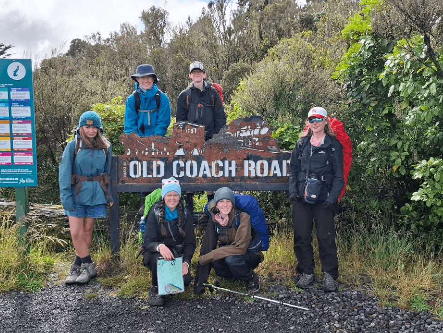
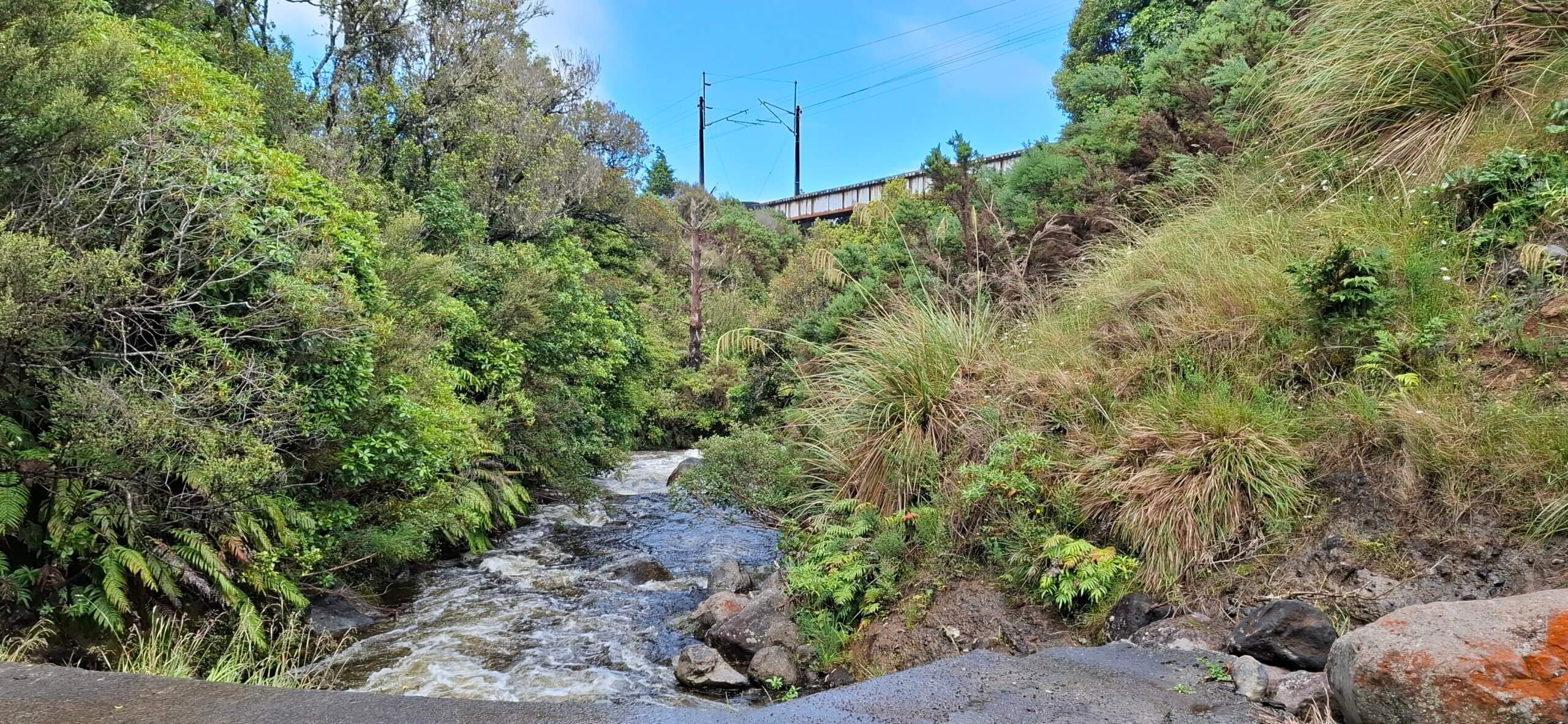
On day one, we hiked Old Coach Road
The weather was sunny most of the day, with only a little rain midday. We stopped along the way to read the information signs, which gave us context about the track.
Along the way, we had an emergency scenario, where we helped a biker who fell off their bike. We set up our emergency shelter and ‘called’ the emergency services. Then we continued through some rainy weather.
We regularly checked on each team member’s welfare, and I said my ankle had started to hurt. So as a team, we set a pace that worked for everyone.
We faced some challenges with our navigation, struggling to figure out where we were on the map, which we soon got the hang of. Overnight, we stayed at the scouts lodge under ‘hut conditions’.
– Jasmine
Old Coach Road track Photography credit: Emily Graney
On day two, we woke up more tired than we expected.
After everyone was ready for the day, we sat down and made sure we all had the right maps and route cards, as we had made the group decision the night before not to do the walk we had originally planned (which was the Mangahuia track into Whakapapait hut).
We made this decision for two main reasons. One, because it had just rained quite a bit that day and we would have a few major river crossings, and two, one of our team members had a sore ankle and wasn’t sure if the river crossings might injure it further.
Overall, the first half of the day went quite smoothly, as the leader, I made sure to regularly check in with my team to see how they were doing and make sure everyone was communicating openly.
– Amelie
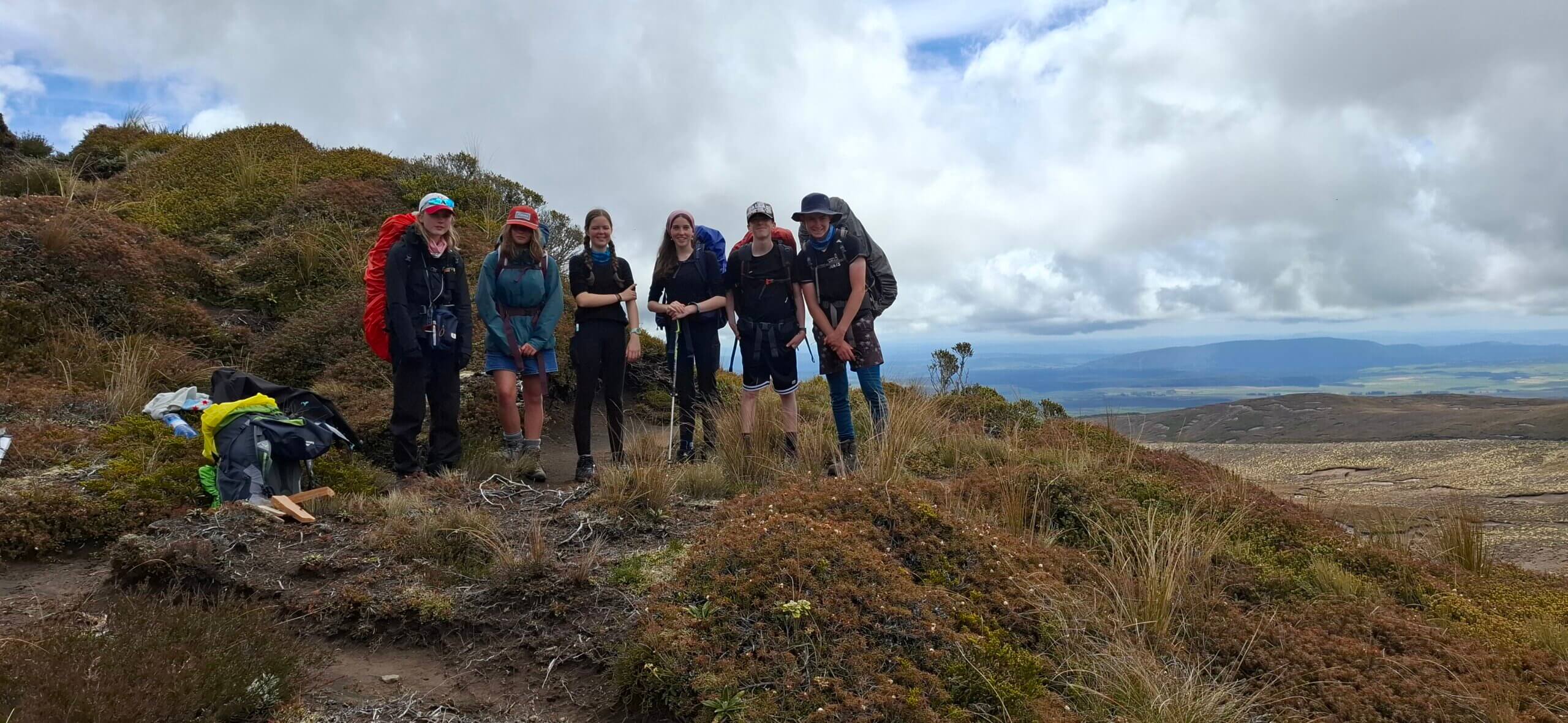
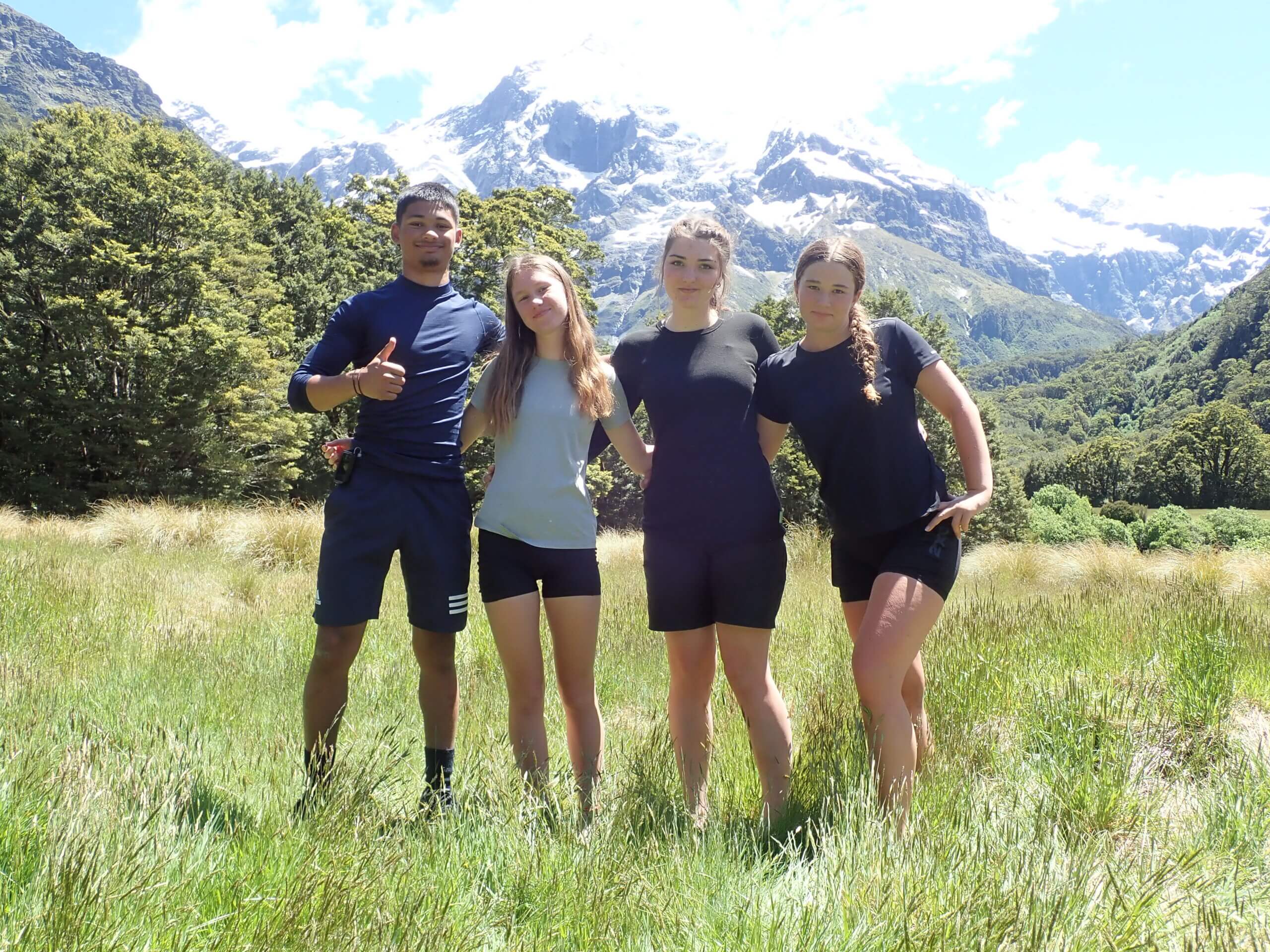
Whakapapaiti Valley Track. (Left to right, Mia, Rosie, Amelie, Jasmine, Micah, Evan). Photography credit: Emily Graney
In the second half of day two, we faced the challenge of hiking off-track.
In this section, we had to navigate over some rocky hills and volcanic terrain. Once we reached the actual trail, we faced minimal challenges besides the occasional trek through some flooded areas on the track, which meant we had to be careful with our footing and watch for any potential hazards.
We made sure to take breaks and to communicate as a team as to how everyone was doing. This ensured that we listened to the needs of the team and hiked at a steady and safe pace.
We reached the Whakapapait Hut at our estimated time of arrival and had plenty of time to set up for the night before sundown.
-Micah
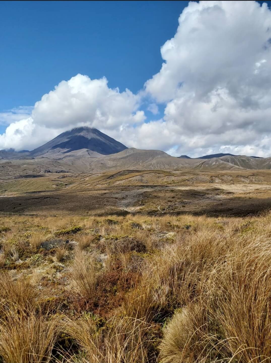
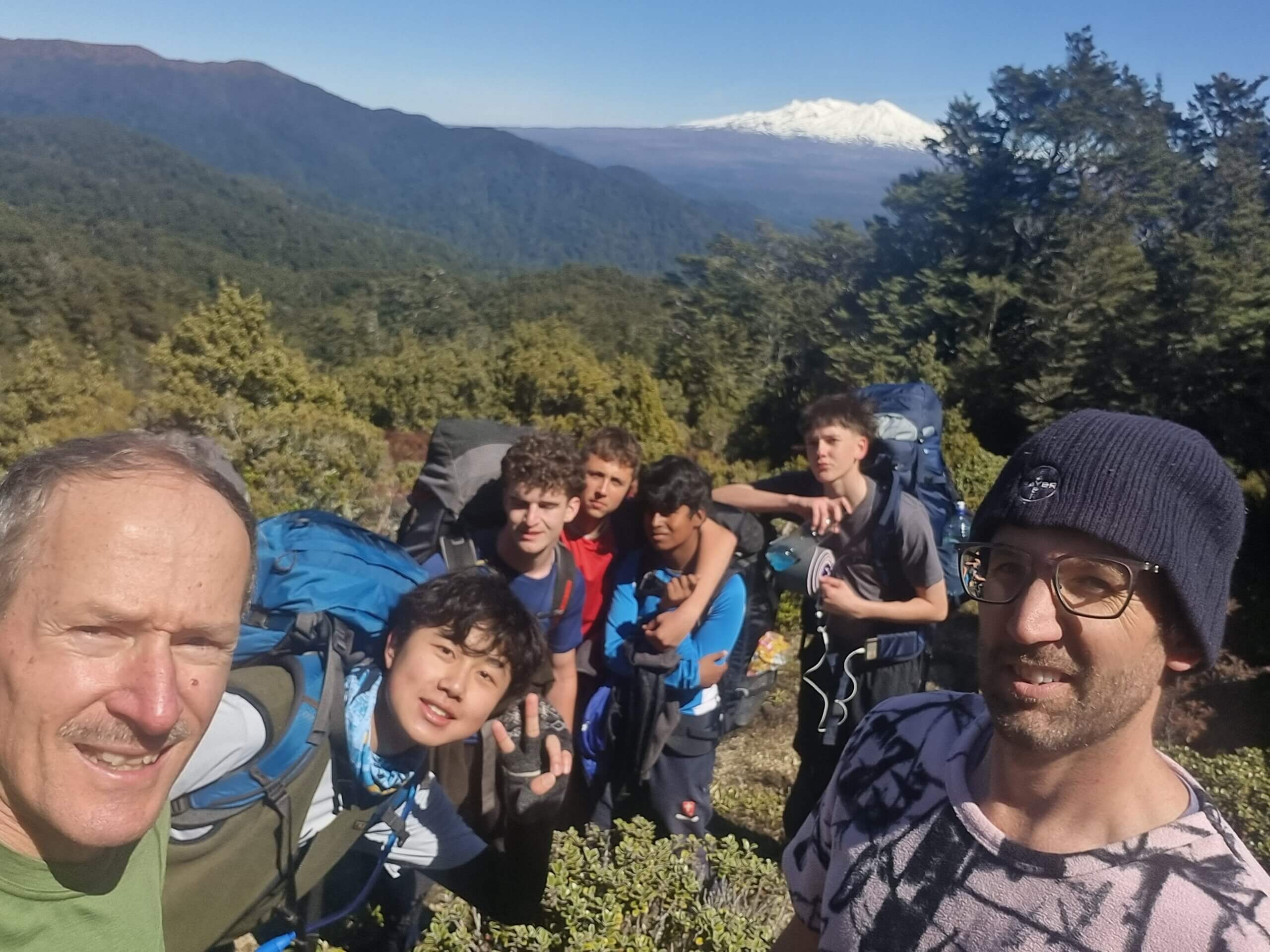
Tama Lakes track. Photography credit: Toby Reed
On the last day, we faced a challenge: to cross a river or not.
Working with the abilities of all team members. As well as having to decide whether we cross the river and find a safe place to do so, that would be safe for the whole group.
Our shadow leader, Emily and two team members, Micah and Evan, walked further up the river to assess the conditions and possibly find a suitable place to cross the river safely.
They found a turn in the river where it widened and became shallower, so they took pictures to raise the confidence of the rest of the group.
With everyone keen to cross and get to the other side, Micah and Evan went first so they could help the rest of the team over.
After crossing and making sure everyone would stay warm, the team followed the river downstream back to the track before carrying on with the rest of the Walk.
– Evan
Team Alpha faced some challenges but overcame each one effectively without letting it affect us negatively.
One issue was with navigation. We were looking at the map beforehand and could see very few landmarks in the barren alpine environment. This meant that it was difficult to identify exactly where we were on the map during our hike.
We ended up choosing mostly small “rivers” that crossed the track. On the actual day, these rivers ended up being non-existent, because it was summer, meaning little rainfall and snow melting.
This caused us to struggle to find where we were on the map. We overcame this by using more unreliable landmarks and using time and distance to calculate where we were.
The notetaker would note down start times so we could use how long we had been travelling for to estimate where we were on the map.
This ended up being a very sufficient solution. I was glad we learned from it because now I will be able to check to see if a river is going to be dried up or flowing by looking at it on the map and considering the time of year.
– Rosie
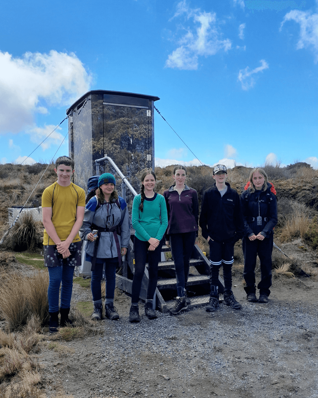
Left to right, Evan, Rosie, Amelie, Jasmine, Micah, Mia. Photography credit: Toby Reed
“Our 3-days hiking in Tongariro National Park presented us with multiple opportunities to overcome physical and mental challenges, and at each step we communicated well as a team. This is what made the hike safe and successful. It was an incredible experience, and all the time spent planning and training was worthwhile as we put everything to use and grew in our problem-solving, leading and outdoor skills.”
We’re delighted to share another trip report from recent recipients of FMC’s Youth Award Grant. These grants are awarded four times a year, so if you’re inspired to get some financial support, head over to FMC’s website to apply.