By Mary Williams
The wise idea to fast pack the length of the New Zealand solo and unsupported, and to find a North Island alternative to Te Araroa, came to me in the middle of a long, cold Canadian winter. After weeks of unrelenting snow, wind, and temperatures below -40 Celsius, cabin fever started to set in, and I dreamed of long summer days in the hills of home – waking to birdsong; sitting around a campfire listening to crickets and Morepork. An idea became a tentative plan, and I spent my summer in the Rockies working three jobs to save up enough money for the trip, and most of my spare time training and planning.
How does one train to run 50kms every day for three months straight, while carrying a 12kg pack and sleeping in the back country? It was hard to organise, and it felt like there was no way I could have ever been fit or prepared enough. The LINZ 1:50,000 map became my most visited website, and I calculated estimates of trail times and resupply locations.
Two weeks after returning to New Zealand in early November, I had eleven resupply boxes packed and addressed for the South Island, with rough estimates of when they were to be posted. A generous donation of freeze dried meals from Back Country Cuisine and One Square Meals from Cookie Time made it much more streamlined, although I would come to regret not putting more variety in the boxes!
To really cover the whole length of New Zealand, Stewart Island most definitely has to be included, and before too long I was waking up in Mason Bay Hut, on day one of my trail running/fastpacking odyssey. It was a drizzly morning with flooded trails, as far away from Cape Reinga as I could be whilst being in New Zealand. Perfect.
While I was covering up to 70kms a day through Southland’s boggy forests, along its beaches and over rolling farmland, an unprecedented amount of rainfall was falling just a little to the west. Roads were disappearing, lakes were encroaching on towns, and flooded rivers were trapping unsuspecting tourists. It wasn’t until I reached Wanaka that I came to realise the extent of the effects of the flooding. The lakefront trail from the Motatapu track to Wanaka was under water, my next section of trail had several river crossings, and more rain was on the way.
After being constantly wet for the last three weeks, I decided to take a break from the trail and head home to the Wairarapa for Christmas with my family and resume the trail once summer decided to reappear. It wasn’t an easy decision to make, but the right ones seldom are.

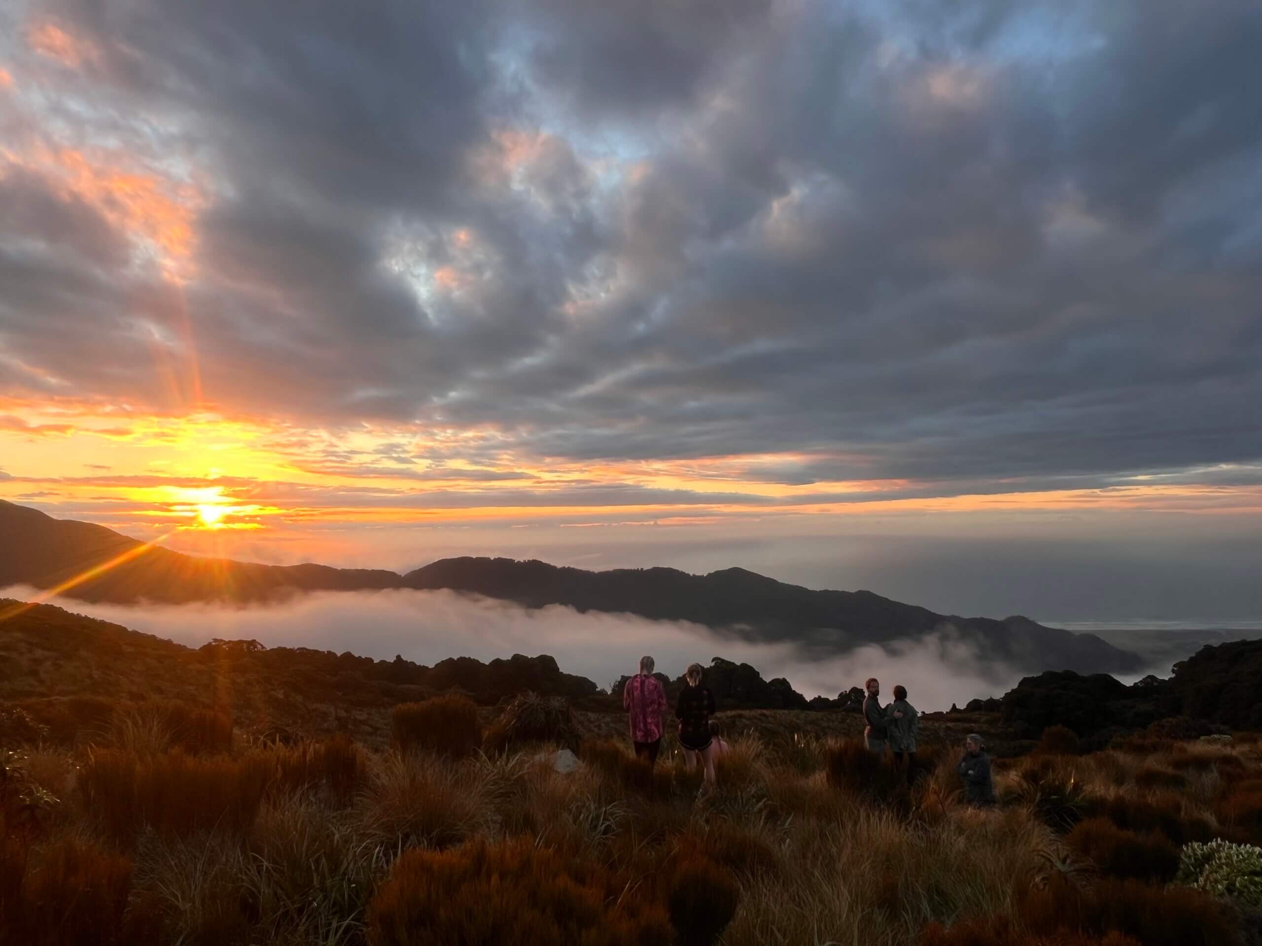
By January 7th, summer was definitely here. From Wanaka to Farewell Spit, the sun shone and the long summer days made progress easier. I relished those days, the ones I’d dreamed of during that long Canadian winter.
Over the next four-and-a-half weeks, I spent my days running and fastpacking through beech forests, over alpine saddles, scrambling through leatherwood, bathing in back country streams and beneath waterfalls. Largely I was following Te Araroa, New Zealand’s thru-hike, but with several detours to less frequented areas.
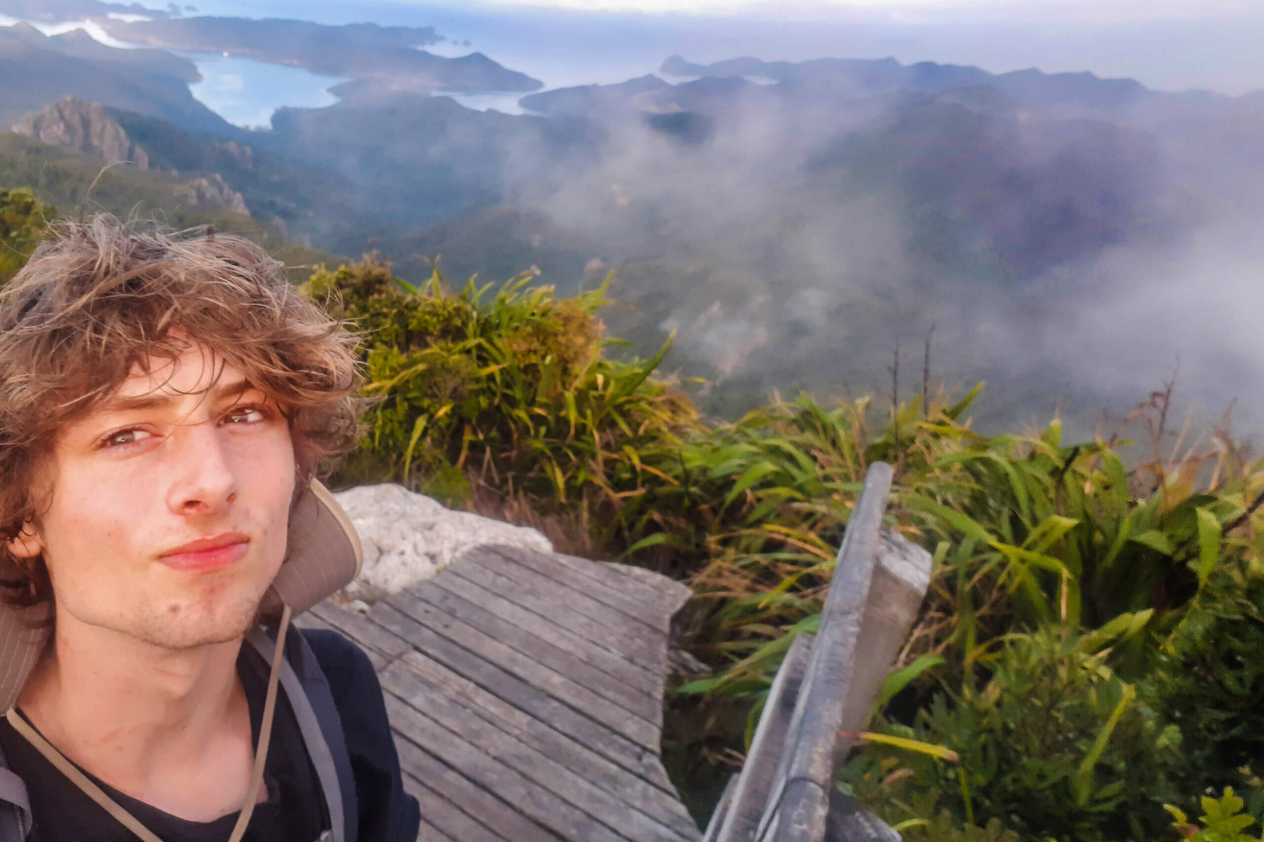
A notable detour was a trip I’d been nervous about for a while: a week-long 200km adventure into the headwaters of the Rangitata and Rakaia rivers, crossing the Jollie Range at the Butler Saddle. I enjoyed seven days of glorious sunshine and empty huts, a brief scramble up a steep scree slope, and precarious river crossings which challenged my skill and my courage.

It’s funny how sometimes a brief moment of clarity can make you realise that memories are in the making. Perhaps the day seems just like any other, but it’s those short, sharp moments that resonate and stand the test of time. Moments like when I chased my PLB as it slipped from my arm and floated down river, sprinting over river stones to retrieve it, recognising that would be the worst, and most likely, opportunity to fall and twist an ankle; stumbling across a pair of hunters in a backcountry hut after five days on my own, and never having felt so grateful to share a packet of gingernuts and some idle conversation.
My next departure from Te Araroa came at Blue Lake Hut in The Nelson Lakes National Park. After two rainy days hiding from a storm in the hut, I crossed the steep, slippery Moss Pass into the deserted D’Urville Valley, and started towards Murchison. My intended destination was Cape Farewell, the furthest north point of Te Wai Pounamu, the South Island. Two misty days along the Old Ghost Road, counting down the kilometers on the well-graded mountain bike track, and I popped out on the West Coast, having a day of rest before venturing into Kahurangi National Park.

In Kahurangi, huts appeared on maps seemingly without trails leading to or from them, days passed without coming across a single soul, and I was followed by the haunting call of Whio in bubbling brooks. A steep fight with leatherwood took me on a detour around the imposing and aptly named Dragon’s Teeth, and before I knew it, I was jogging down through the trees to Bainham.

For my final 30km stretch of road to Cape Farewell, I had a peaceful, easy run along the coast. The sun was at my back as I jogged along the beach watching the hopeful lone fishermen enjoying the solitude at low tide. Five weeks of sun, rain, mud, huts, river crossings and alpine crossings had got me to this halfway point, and I relished the feeling of each step hitting the ground, listening to the cries of the gulls. They seemed to be bidding me farewell.
We’re delighted to share another trip report from recent recipients of the FMC Expedition Scholarship. This is the first installment of a two-part blog sharing Mary William’s journey along the Te Araroa Trail.
Applications close annually in mid-September. For more details on how to apply, please visit the FMC website at www.fmc.org.nz/