I’d planned a two-day Fit trip on the Wellington Tramping and Mountaineering Club (WTMC) schedule in late fall, which would visit the northern end of the Tararua Mountain Range from the Mangahao Dam. We’d planned to go in via Baber Forks and College Creek to access the main range via Ngapuketurua, Ruapae and East Peak/West Peak. This would lead us on to Dundas Hut for the night and then out via Mt Dundas, Triangle Knob and eventually down the spur to Mangahao Flats and the carpark – just a little over 30km with more than half on the top of the ridgeline.
The forecast wasn’t perfect for a long exposed route – high winds and potentially a spot of rain. In researching the predominantly off-track route, I’d made a few mental notes about escape plans. I had found useful comments in the out-of-print 1996 Tararua Footprints Guide (now helpfully archived, searchable and occasionally updated online by the Tararua Tramping Club).
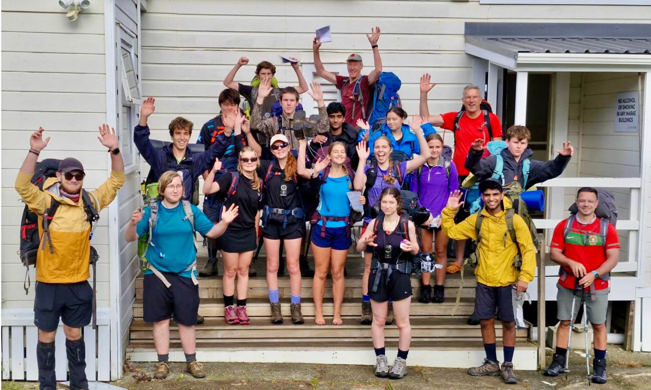
A hardy group of four of us started out despite the forecast. Initially, the weather had been better than expected.

On the way before the wind hit
But as we reached 1000m of elevation at Ngapuketurua and the bush started to thin out, it was obvious that the forecasted winds were going to be challenging. Any time the bush opened out, we struggled to walk in a straight line and at times, found ourselves with hands on the ground. After 20 minutes, we dropped a few metres down the side of the ridge and squished into the cover of leatherwood to revisit our plans. While we were all finding the travel ‘doable,’ the idea of a further six to eight hours with increasingly more exposure and high winds was definitely in the ‘not fun’ category and most likely in the ‘not sensible’ category.
It was hard to turn back before things were really shit. If we continued on, however, the first option to bail out was Herepai Hut. This would require a fair bit of exposure to get there and we’d just have to come back out the same way tomorrow. Alternatively, one of my escape options from Tararua Footprints was to descend the untracked spur from Ngapuketurua into Harris Creek – just 20 minutes back from where we were and we’d get to explore some new terrain.
We were disappointed to be abandoning the plan before lunchtime. Here we were on a ‘Fit’ trip and now, in just a few short hours, we’d be at the hut. We figured we might as well push down to Harris Creek and have lunch there. If only . . .
We quickly hit Ngapuketurua, took a compass bearing and headed off to Point 959. Quickly the scrub closed in and was well over our heads and very dense. It was denser than any off track bushbashing I’ve done in the Tararuas and so dense, that at one point, we actually turned ourselves 180 degrees around and started to head back in exactly the same direction. We only realised what we’d done when we recognised the same mangled tree through which we’d had to crash. It took us four hours to cover one kilometre. We stopped for lunch barely halfway down the spur.

Lunch in the heart of the leatherwood
We carried on to Point 851 and eventually got to the creek, just at dusk. If we hadn’t been so stubborn about getting to the hut and so exhausted from the bushbashing, maybe it would have occurred to us to find a spot to camp. However, where we dropped into Harris Creek didn’t show any signs of acceptable camping and we felt like we were just a short kilometre from the track.
River travel at night is hard, especially in an unknown river. It had also started to rain somewhere during the afternoon, so we were already soaked through and wearing most of our layers even before we stepped into Harris Creek. We had a snack, put on head torches and set off just as night fell.
For the most part the creek was shallow and broad, so it was reasonable to navigate. But it didn’t take long before we came to a large pool that was clearly quite deep; and as best we could tell with head torches, it had steep gorges on either side. No one wanted to attempt crossing a pool of unknown depth at night, so we did our best to scramble and sidle up and over. It wasn’t pretty, but it worked. Eventually we hit the track and the hut – 13 hours after we started. One of the other WTMC trips was there and was quite amazing at helping get our dinner ready, as we looked a bit shattered. After a sleep in, we had a short walk back to the carpark.

Arriving at Harris Creek a little worse for wear and at dusk
Afterwards, I wondered how that spur from Ngapuketurua could have been so terrible. Fair enough that the Tararua Footprints book is from 1996 and our trip was almost 20 years later in 2015, but there was no sign that anyone had ever gone where we went – for good reason.
So when I got home, I looked it up again. Tararua Footprints said:
From Ngapuketurua to Harris Creek the spur down is fairly defined, but most of the higher spurs in this area and towards Ruapae carry a good cover of scrub.
I suppose it doesn’t say that the spur is good travel, but it does suggest it is a viable option to descend into Harris Creek. Our experience would suggest otherwise.
Rereading, I see the error may have been down to the subtlety of language. I had read that comment, then looked at the map and assumed the most obvious line of descent was to carry on down the most gentle gradient from Ngapuketurua to Point 959 and Point 851 and onwards to the stream. In another part of the Tararua Forest Park that indeed might have been a good idea, but not in the northern end where it’s famous for horrendous leatherwood, particularly between the 800 and 1000m contours. In fact, I had chosen the longest line of exposure to leatherwood that we could have possibly taken with almost two kilometres between 800m and 1000m.
When I looked at Tararua Footprints and the map again, I realised it said spur. Technically a spur juts out from a ridge. So the guidebook was likely suggesting we should have taken the spur immediately south from Ngapuketurua. Technically we had carried on down the ridge heading west, not the spur, though I have not been back to check. I’ll leave that to someone else. But I have learned to get a second opinion when interpreting written route directions – realising written descriptions can sometimes be interpreted in more ways than one. And while it was a brutal descent, it was still better than hours in gale force winds exposed on the tops!

Aftermath of worst bushbashing ever
Megan Sety was the recipient of our ‘Epic Facts or Fables’ book contest. We love to hear some of your stories about epic facts and fables in the outdoors. What was a fact and what turned out to be a fable when out in the wild? Hut still on the map, but not there after 9h tramp? Was that just a piece of glacier floating in the lake or a tail of taniwha? What was that strange noise outside the hut in the dark? A kākāpō or …?
Send us your stories and you may be featured on Wilderlife. Entries should be 800-1200 words, with 4-5 captioned photographs. By entering you give permission for FMC to publish your entry on our website. Please send your stories to communications@fmc.org.nz.